Rain brings a cold snap — but no floods
Published 4:00 am Friday, November 1, 2019
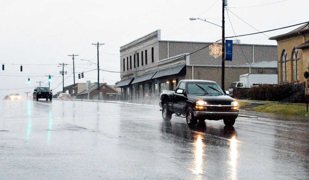
- Traffic travels along US 278 during rainy weather in this 2018 photo.
Heavy rains and a burst of whipping winds overnight Wednesday and early Thursday morning left Cullman County none the worse for wear, although they’re leaving in their wake the year’s first encounter with truly chilly temperatures.
Local officials said Thursday that there’d been no reports of significant flooding in the Cullman area, even in the usual low-lying spots where it doesn’t take much rainfall to cause water to start pooling and spilling over.
“We’ve gotten no reports of any flooding,” said Cullman County Emergency Management director Phyllis Little Thursday afternoon. “The freezing temperatures that are coming in behind it is probably more significant. We’re supposed to have a couple of nights where the lows go into the 30s and high 20s, but that’s just what’s expected for this time of year.”
At Hanceville, where flooding often occurs early during heavy rain events, Mayor Kenneth Nail said the city appeared to have escaped the stormy weather flood free. “We didn’t have any real flooding,” he said. “The ditches are full, but the water never ran over, so I think we’re going to be okay.”
The weather system that brought heavy rains and wind early Thursday also ushered in a rapid and dramatic temperature shift. “It was still around 70 degrees at midnight Thursday morning,” said Little, “and later the same day — while it was still daylight — we were already seeing the temperature drop to around 40 degrees, and on its way to getting colder.”
The brief cold snap might be seasonal, but it isn’t expected to stick around long. By Monday, said Little, overnight lows should be back in the mid-40s, with daytime highs inching nearer to the mid-60s by midweek, ahead of another potential round of rain.
