Weekend may bring snow, freezing rain
Published 5:15 am Thursday, January 11, 2018
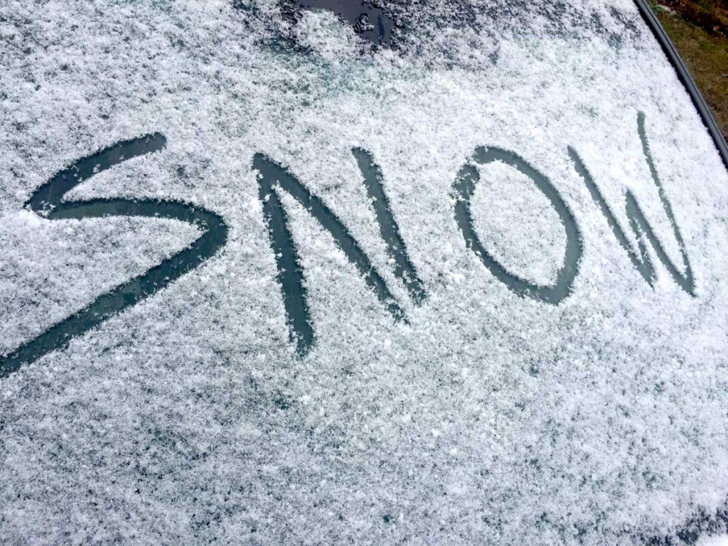
- Snow
Forecasters are certain Cullman County and surrounding areas will receive some kind of precipitation this weekend. They’re just not sure yet whether — or how much — will come in the form of snow or freezing rain.
The National Weather Service in Huntsville is tracking a strong cold front that’s expected to sweep into North Alabama Friday, dropping temperatures dramatically by nightfall as ongoing rainfall potentially begins to change over to sleet or snow.
Trending
Current forecasts call for the chance of snowfall to be greatest after 7 p.m. Friday, as temperatures slide from a daytime high in the 50s to an overnight low in the 20s.
Cullman Emergency Management Agency Director Phyllis Little said confidence in the prediction model is still relatively low, but that should begin to change by today’s weather service briefing at 1:30 p.m.
“Right now, the models are not all lining up together as to accumulations, and when,” she said. “We’ll probably get some winter precipitation, but there’s really no confidence in how much, or what kind.”
Any snow that does accumulate Friday will remain through the weekend, though. Temperatures aren’t expected to rise higher than 33 degrees during the day Saturday.
“Whatever falls Friday evening would be on the ground through the weekend,” said Little. “The possibility for significant accumulation is likely to be higher north of the Tennessee River, and the further west you go. We’re expecting the precipitation to end sometime between Friday and early Saturday morning.”
Regardless of whether the area sees snow over the weekend, temperatures will remain low enough through the start of next week to keep chances of more snowfall in the forecast.
Trending
The weather service currently forecasts a 20 percent chance of snow for Monday, and a 30 percent chance for Tuesday.
Benjamin Bullard can be reached by phone at 256-734-2131 ext. 145.