Season’s first freeze puts county on alert
Published 5:00 am Tuesday, October 18, 2022
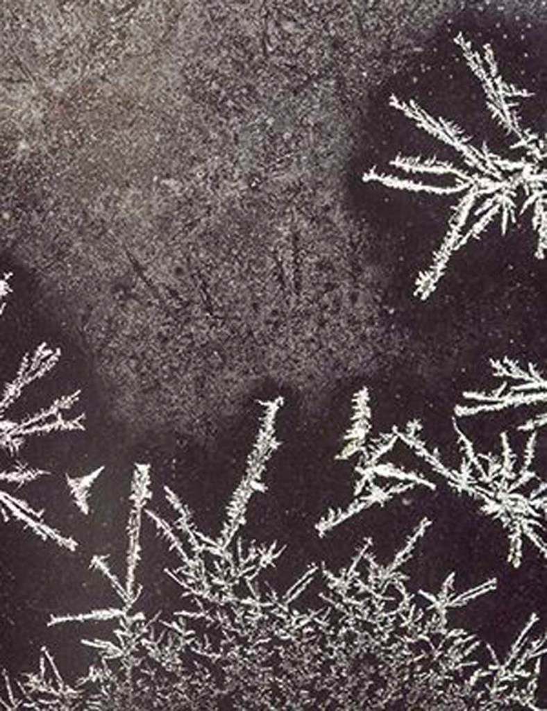
- Frosty weather
Monday evening’s chilly blast was just the start of an extended cold snap for Cullman County; a mid-October date with frigid temperatures that has the National Weather Service on notice for potential freeze alerts through the middle of this week.
The Huntsville office of the National Weather Service on Monday issued the season’s first overnight Freeze Warning for its entire north Alabama and southern middle Tennessee coverage area, which includes all of Cullman County. The warning covered the overnight period from 1 a.m. until 9 a.m. this morning, but with even colder temps expected through Thursday, additional alerts could be on the way for tonight and Wednesday evening.
After dipping just below the freezing mark in this morning’s early hours, the thermometer could dip into the 20s both tonight and Wednesday evening for the first time since last winter. “Frost and freeze conditions will kill crops, other sensitive vegetation and possibly damage unprotected outdoor plumbing,” NWS advises, adding that residents should “[t]ake steps now to protect tender plants from the cold.
“To prevent freezing and possible bursting of outdoor water pipes they should be wrapped, drained, or allowed to drip slowly. Those [who] have in-ground sprinkler systems should drain them and cover above-ground pipes to protect them from freezing.”
The protracted arctic air blast means residents should watch for additional freezing weather advisories beyond today, as chill air lingers in Cullman County through midweek. No precipitation is anticipated during any of the area’s sub-freezing overnight periods this week, with forecasters calling for no chance of rainfall at all for at least the next five days.
To stay current on emergent local weather-related information, follow the Cullman County Emergency Management Agency (@CullmanCountyEMA) on Facebook.