Severe weather, possibility of tornadoes in forecast
Published 4:48 pm Tuesday, December 28, 2021
- Severe Weather
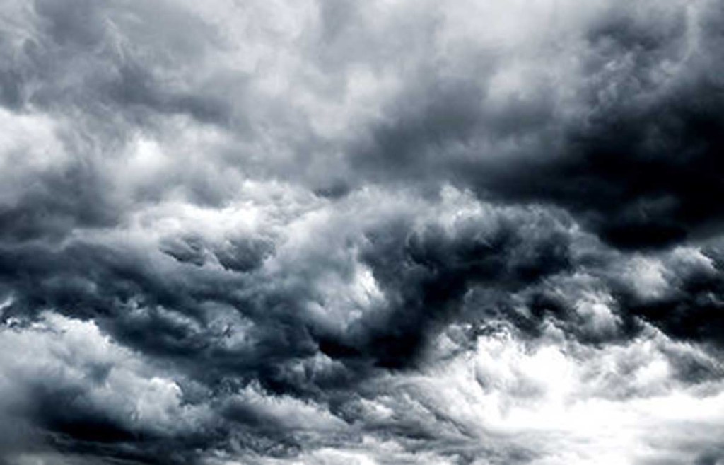
Thanks to a pair of severe weather threats, the new year might get off to a rocky start.
On the back of unseasonably warm temperatures, strong storms with the possibility of tornadoes are expected to arrive Wednesday, and persist through the night into Thursday morning. The Huntsville office of the National Weather Service is forecasting overnight heavy rain that could produce local flooding, along with winds that could gust up to 60 miles per hour and the possibility of hail.
The storm system is expected to arrive from the northwest along the edge of a cold front that marks the first of two severe weather events heading into the new year. The second round of rain and storms is predicted to arrive on Saturday, bringing the same wind, hail, and tornado potential as Wednesday evening’s storms — plus a higher risk of local flooding, thanks to the soaking the area is expected to receive tonight.
“The second system that’s coming in on Saturday is forecast to have damaging wind gusts, hail, and possible tornadoes, with heavy rain that could bring an additional two or three inches,” said Cullman EMA director Tim Sartin late Tuesday. “The flooding could be more likely on New Year’s Day, due to the rainfall that we’ll have gotten from the previous system on Wednesday night.”
The weather service issued a hazardous weather outlook for Wednesday overnight into Thursday morning that calls for “damaging winds up to 60 MPH as the primary threat with marginally severe size hail and a tornado or two possible as well. Several rounds of moderate to locally heavy rainfall may also result in minor flooding during this period, as well.”
Sartin said local residents should have a plan to remain weather alert throughout the night Wednesday. “It’s going to be a late-afternoon, into-the-night type of event,” he said. “Charge your phones and get your nighttime preparedness plan ready ahead of time.”