Along the fault line: Earthquake activities get close attention in Alabama, region
Published 5:15 am Wednesday, July 24, 2019
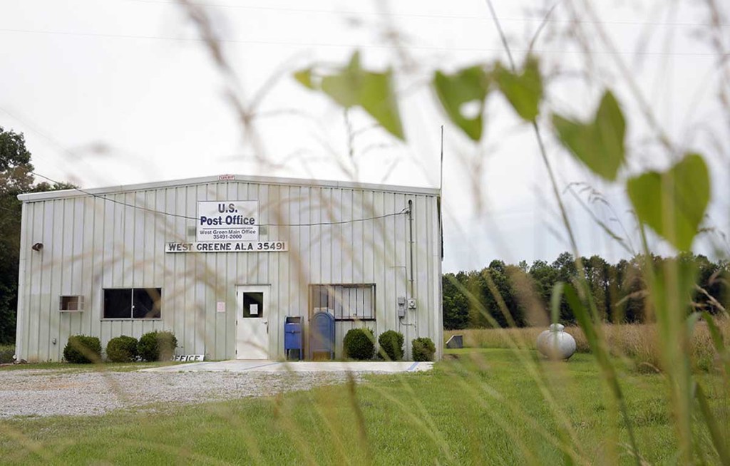
- In this Tuesday, June 9, 2015, photo, a post office stands in West Greene, Ala., where there have been reports of earthquakes. More than a dozen weak earthquakes have followed in the seven months since in west Alabama's rural Greene County, and geologists are trying to figure out what is causing the seismic swarm in an area of the South more prone to tornadoes than earthquakes.
When the ground trembles with an earthquake small or large, Cullman County is poised to be a major staging area for this region of the country.
Recent events in California, where an earthquake and strong aftershocks shook the southern portion of the state, and a series of smaller earthquakes from south Alabama to Harvest, near Huntsville, are a reminder for this area that the New Madrid fault line is not far away.
“Just about any area can experience an earthquake, but Cullman County is viewed as a major staging area if there is a major earthquake in the New Madrid,” said Phyllis Little, Cullman County Emergency Management Agency director.
Alabama is one of eight states represented on the Central United States Earthquake Consortium (CUSEC). Alabama Emergency Management Agency Director Brian Hastings is among the voting board members of the organization. There are also 10 associate states.
CUSEC represents the eight states most impacted by earthquakes in the region, with its directors meeting quarterly to review information from geologists as well as to establish response plans.
“I’ve sat through several of their meetings, the last being about four or five years ago,” Little said. “The topic of New Madrid is always there. Based on geologists’ studies, a major earthquake has been predicted along the fault line on two occasions that I remember; once more than 20 years ago, and again four or five years ago. Each time they said in 20 years.”
But predicting earthquakes has never been easy. Little said the information is interesting from the geologists’ presentations, but her main concern and that of other EMA directors is what to do if an earthquake occurs.
“We were noted as a staging area because of our location, with the interstate and Alabama 157,” Little said. “There was also the idea that we would be less impacted by a major quake than some other areas.”
While the perception is that the worst threat of earthquakes are in California and other far west states, New Madrid rattled off three massive earthquakes, ranging from magnitude 7 to 8, in the winter of 1811 and 1812.
The U.S Geological Survey provided this account from those earthquakes:
“The three largest 1811-1812 earthquakes destroyed several settlements along the Mississippi River, caused minor structural damage as far away as Cincinnati, Ohio, and St. Louis, Missouri, and were felt as far away as Hartford, Connecticut, Charleston, South Carolina, and New Orleans, Louisiana. In the New Madrid region, the earthquakes dramatically affected the landscape. They caused bank failures along the Mississippi River, landslides along Chickasaw Bluffs in Kentucky and Tennessee, and uplift and subsidence of large tracts of land in the Mississippi River floodplain. One such uplift related to faulting near New Madrid, Missouri, temporarily forced the Mississippi River to flow backwards. In addition, the earthquakes liquefied subsurface sediment over a large area and at great distances resulting in ground fissuring and violent venting of water and sediment. One account of this phenomena stated that the Pemiscot Bayou “blew up for a distance of nearly fifty miles.”
Whether such a powerful earthquake will ever again occur along the New Madrid is unknown, but geologists monitor activity in the region regularly.
“We hope it never happens like that again, but our job is to be organized and prepared to provide assistance if it does,” Little said.
Recent earthquakes in Alabama have measured only 2.3 to 3.0 magnitude, but some residents have reported feeling the tremors. The U.S. Geological Survey documents earthquakes around the country and sends notices of any that detected.