Colder temps to follow rain today
Published 5:30 am Saturday, October 28, 2017
Grab your warm coat because temperatures will fall today and hang around into the beginning of the week.
Trending
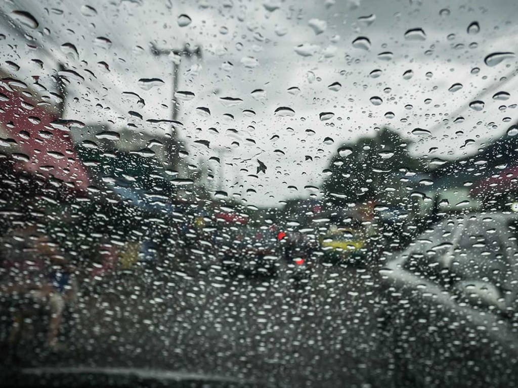
Rain doused much of the area Friday night and was expected continue into this morning, with between a half to an inch falling before moving out of the area. Much colder temperatures will follow behind the rain, with highs today struggling to reach the lower 50s, according to the National Weather Service in Huntsville.
Patchy frost is expected to develop tonight as temperatures drop to around 34 degrees. Freezing drizzle will be possible in higher elevations late tonight and Sunday, resulting in the potential for a few icy spots.
A widespread freeze is possible tonight and early Sunday morning. It will be sunny Sunday but chilly, with a high near 54 before temperatures fall to around 33.
Dry weather should continue into early next week, with frost possible Sunday and Monday mornings. Slightly warmer temperatures will return Monday, with highs in the upper 50s and 60s.
Overnight lows will be in the upper 30s Monday night and lower 40s Tuesday night, according to the weather service. Some areas, mainly in the Tennessee River Valley, may experience a light freeze again Monday morning.
Looking ahead, the U.S. Winter Outlook from the Climate Prediction Center forecasts above normal temperatures are favored for much of the southern tier of the United States including the Tennessee Valley. Below normal precipitation is favored along the Gulf Coastal Plain region and much of the rest of the Southeast U.S. — a typical La Nina pattern, according the weather service.
Trending
Tiffeny Owens can be reached at 256-734-2131, ext. 135.